
Sope Creek First Walk: Use the Official Map to Plan a Ruins-Focused Route |
Choose a modest wooded outing rather than assuming the whole trail network is one loop. |
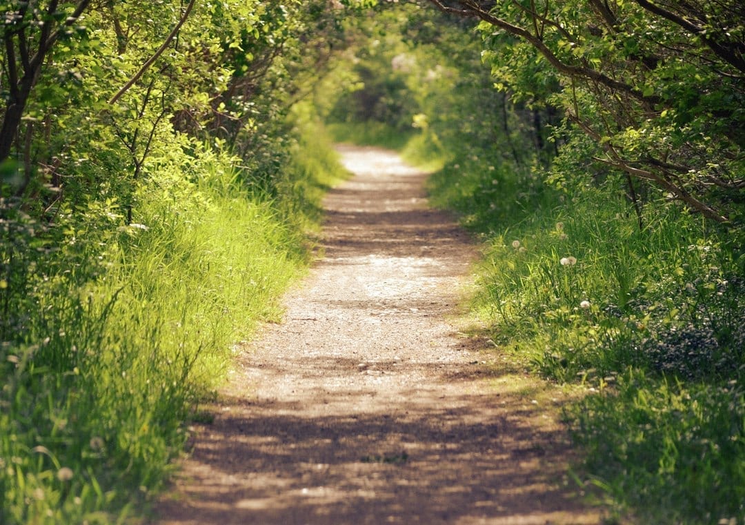
A Sope Creek first walk begins with the right mapA Sope Creek first walk should begin with a route choice, not simply the name of a destination entered into navigation. The wooded trail network connects different experiences, and a modest outing to see historic features does not require exploring every connected path. Decide what you want to notice, then plan the return before setting out. Use the National Park Service's Sope Creek trail map (PDF) for the Cochran Shoals–Sope Creek unit. Its location map distinguishes the surrounding entrances. Choose the correct parking destination and route rather than assuming all entrances lead to the same first stop. Save the Sope Creek trail map before leaving home and compare it with information at the trailhead. Identify your intended junctions and turnaround point. A phone can be helpful, but a familiar-looking path is not proof that you are still on the route you planned. 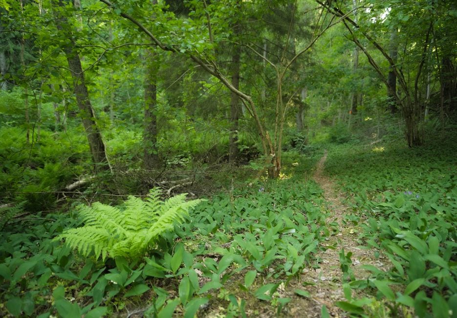 Sope Creek mill ruins give the walk a purposeThe NPS park brochure's land-trail description places Sope Creek among areas with rolling or moderately steep hills, wooded ravines and historic mill ruins. That helps set expectations: a woodland history walk here is a different experience from a broad, consistently level urban path. Approach the Sope Creek mill ruins as a feature to observe from permitted areas. Notice materials, openings and the relationship between the remains and the surrounding landscape. Read available interpretation before guessing how a wall or opening was used. A visible detail can raise a useful question without establishing its answer. Keep children close around the historic setting and follow posted restrictions. Sope Creek mill ruins are not climbing equipment. The most memorable part of the stop may be a conversation about the work once associated with the place, rather than an attempt to reach every angle for a photograph. Allow for hills, junctions and slower return timeA Sope Creek first walk should use the comfortable pace of the whole group. Include time for signs, photographs and any pauses at the ruins, then allow for the return over the same terrain or your chosen mapped route. The outward portion can feel quicker when everyone is still fresh. Choose shoes suited to natural surfaces and reassess after rain. Do not add an unfamiliar branch simply because it seems to point toward the parking area. At a junction, stop out of the way, consult the map and confirm the next segment before continuing. A deliberate pause is easier than correcting a mistaken turn later. Compare our Red Top Mountain paved-walk guide if a more predictable surface matters to your outing. Let route conditions guide the choice instead of treating all short walks as equally demanding. 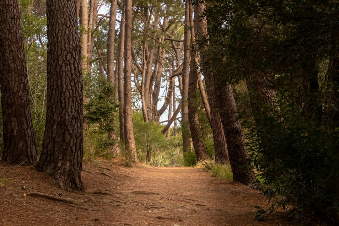 Check parking requirements and keep the outing focusedThe park brochure states that visitors parking in park areas need an annual or daily parking pass displayed on their vehicles. Check the NPS's current pass information and posted instructions before walking away from the car. A familiar local trail still has its own parking arrangements and current notices. Keep the plan simple enough to finish comfortably in daylight. Carry water, note changing weather and avoid turning the creek into an unplanned water activity. A ruins-focused walk can be complete after a few thoughtful stops, even when the wider trail network still has places you have not explored. Our Kennesaw Mountain route-and-access guide offers another outing where route choice matters. Leave Sope Creek with one observation and a clear idea of the path you used. That makes a future visit easier to plan and gives the first one a useful sense of place. |
0 Comments
Join the conversation
Be the first to comment
Share your thoughts above.