
Noonday Creek Trail Parking: Bells Ferry or Aviation Park? |
Noonday Creek Trail parking: compare Bells Ferry Trailhead and Aviation Park, choose a short Cobb walk and check separate national-park pass requirements. |

Noonday Creek Trail parking is easier to plan when the group chooses one actual starting point. For a first outing on the Cobb County section, Bells Ferry Trailhead and Aviation Park offer two different ways to arrive. A general search for Noonday can also surface other places and sections.
The Town Center CID parks-and-trails guide identifies Bells Ferry Trailhead at 3001 Bells Ferry Road NE, Marietta, as the district trail’s easternmost point. It lists parking, restrooms and trail access there.
The same guide places Aviation Park at 2659 Barrett Lakes Boulevard, Kennesaw, along the trail. That start may suit a group that wants to combine a short walk with a separate park stop. Decide which purpose comes first before sending the meeting address.
Do not ask two households to meet somewhere along the trail without a shared arrival point. Send the named location, its address and a simple return plan so a late arrival does not need to search along several miles of path. Choose a manageable section rather than a whole-trail goal |
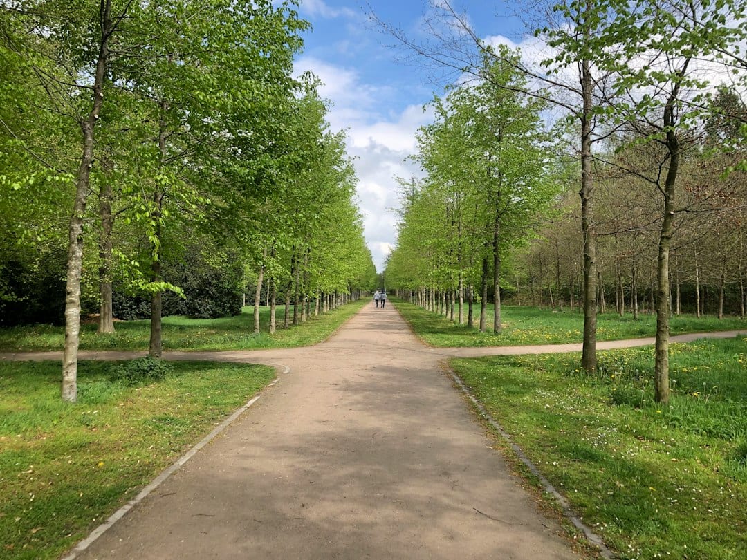 Illustrative stock photograph of a shared path or cycling setting; not Noonday Creek Trail, its signs or current surface conditions. Photo by Wim van 't Einde on Unsplash |
The CID describes its Noonday route as a paved, non-motorized trail running between the Kennesaw Mountain/Old 41 area and Bells Ferry Road. Its listed distance is 6.88 miles. That corridor description is not a requirement to cover the whole distance on a first visit.
Choose a short out-and-back segment using the current wayfinding. Agree on when to turn around and keep enough energy for the return. Walking one direction until everyone is tired simply moves the difficult part to the trip back.
Because this is a shared walking, jogging and cycling setting, leave space for other users and avoid blocking the route while deciding where to go. A group conversation or equipment check is easier when moved clear of passing traffic.
Use the CID contact page if an essential facility or access detail needs confirmation. A listed restroom or fountain gives useful planning information, but it cannot guarantee day-of operation. Carry the basics your outing depends on. Keep trailhead access and national-park parking separate |
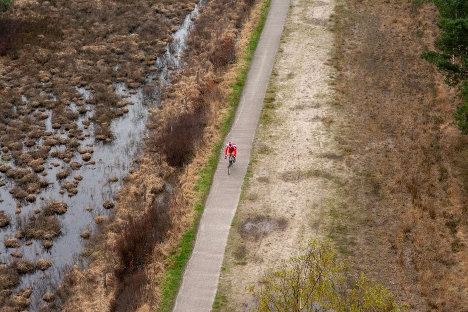 Illustrative stock photograph of a shared path or cycling setting; not Noonday Creek Trail, its signs or current surface conditions. Photo by Jan van der Wolf on Pexels |
The name Noonday Creek also appears in descriptions of routes beyond this district. Use the current map for the segment you intend to travel rather than assuming every similarly named path forms one uninterrupted ride to another city.
A future connection or planning proposal does not establish an open route. For a short first visit, stay with the signed section you have checked and avoid building an itinerary around an unverified extension.
If choosing a Kennesaw Mountain National Battlefield Park lot instead, read the National Park Service parking and pass instructions. The federal park requires proof of payment at its lots. That is a different parking question from choosing Bells Ferry or Aviation Park.
Do not extend a park pass or one location’s operating instructions to every trailhead. The starting location determines which posted parking rules need attention, even when the walk eventually joins the same wider corridor.
Our Aviation Park first-visit guide gives more context for a play-and-plane-watching stop. Our Kennesaw Mountain access guide covers the battlefield setting. Use them to compare outings rather than merge different destinations into one assumed set of rules.
Start with the arrival point, then choose the distance. Check the current signs, share the return plan and keep the first walk small enough to finish comfortably. A familiar starting point makes a longer later visit easier to organize. |
0 Comments
Join the conversation
Be the first to comment
Share your thoughts above.